Disaster Response Demands Shifting Search Pipelines to the Network Edge
Effective disaster response requires minimizing the entire temporal pipeline from sensor capture to human insight rather than focusing solely on query speed. By moving computation and indexing to the edge, organizations can transform massive, inaccessible raw data into actionable, searchable intelligence.
Rethinking Latency in Critical Operations
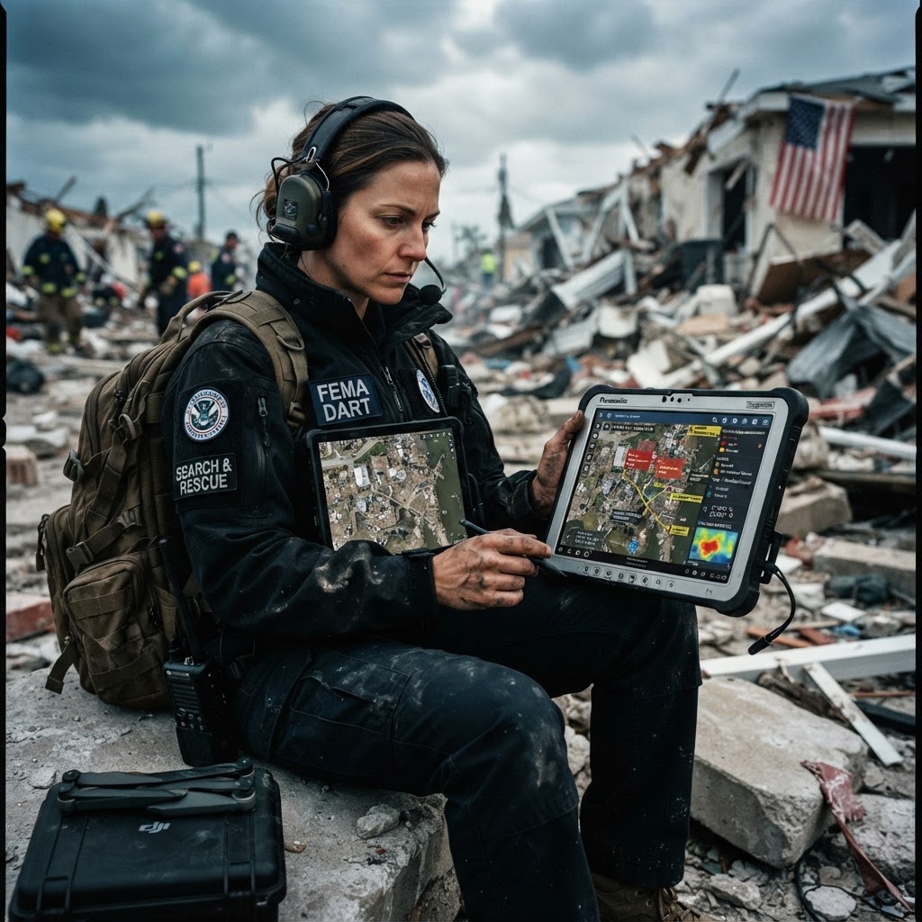
When architects design high performance search systems, they almost universally obsess over the query latency metric. They measure the time it takes for an engine to parse a request, traverse an inverted index, and return a result set. This fixation on the final millisecond is understandable, as it defines the snappiness of the interface. However, in the context of disaster response, this metric is dangerously incomplete. In field operations, the most important search latency occurs long before a user hits enter on a search bar.
Consider the lifecycle of a single image taken by a drone surveying a wildfire or a post-earthquake landscape. Before a human can search for damage, that data must be captured, moved across challenging terrain, ingested, processed, indexed, and finally rendered. If the search engine responds in five milliseconds but the ingestion pipeline takes eight hours, the system has failed the user. The real bottleneck is not the database, but the entire data supply chain. Achieving mission success requires a total systems view where search begins at the edge.
The Fallacy of Centrally Cached Intelligence
The traditional model of search assumes a centralized cloud environment where all data is piped to a high powered server cluster. This works in a stable, urbanized environment with abundant fiber connectivity. In disaster response, that model frequently collapses. Remote, inaccessible areas often lack the bandwidth to transport terabytes of high resolution sensor imagery. Relying on a central hub for all processing means that valuable data sits in a buffer, waiting for a connection, while critical decisions remain delayed.
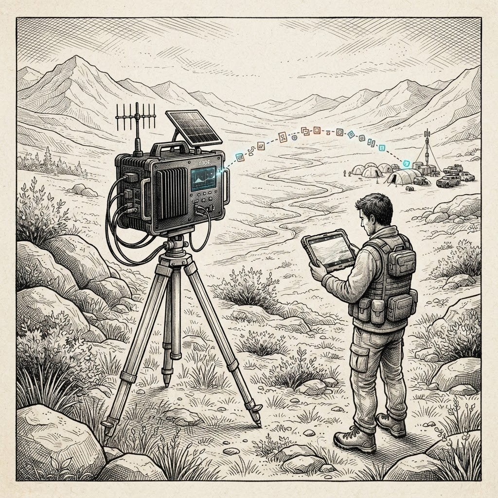
To bridge this gap, modern architecture must move compute and intelligence closer to the data source. By performing inference, metadata extraction, and indexing locally, field units can transmit only the most vital, structured signals. This does not replace the need for the raw data, but it decouples the availability of actionable intelligence from the availability of massive bandwidth. The operator receives a notification of a blocked road in seconds, rather than waiting for an hour-long upload of a full flight survey.
Search as a Control Plane Component
We must stop treating search as merely a passive database lookup and start viewing it as a primary control plane for physical operations. In a disaster, the search interface serves as a portal into the physical world. When a team leader searches for "high severity road damage," they are not just querying rows in a database, they are actively determining where to send heavy equipment, where to evacuate citizens, and where to deploy further scouting drones.
This makes the search system a critical piece of operational infrastructure. If the search index is updated in real time as data flows from the edge, it enables a dynamic, responsive command structure. This creates a feedback loop where the results of one search effectively trigger the next phase of the operation, such as deploying a specialized sensor drone to a newly identified anomaly. In this paradigm, query latency is merely one variable in a much larger equation: the time to insight.
Data Reduction Through Structured Geospatial Events
One of the most effective strategies for edge search is the aggressive reduction of raw imagery into structured geospatial events. A hundred gigabyte raw file is useless to a search engine until it is processed. However, a small JSON object describing a bridge, a timestamp, a location, and a severity score is instantly searchable and lightweight. By extracting these features at the edge, organizations can build an operational map that is orders of magnitude more efficient than searching raw pixel data.
This approach leverages the power of spatial databases to turn a simple dashboard into a complex investigative tool. When a user pans or zooms on a map, the system is performing sophisticated spatial aggregations and filtering in real time. Grid aggregations, which group events into tiles based on the current zoom level, act as a crucial mechanism for data scale. They allow the operator to visualize high level trends without overloading the client or the transport layer with millions of unnecessary data points.
Spatiotemporal Context as the Ultimate Goal
Finally, we must recognize that in emergency scenarios, location is only half the picture. The most powerful queries are those that combine geospatial filters with temporal constraints. Asking where damage is located is basic, but asking what changed in that specific location within the last four hours is a strategic query. Integrating time-series data with geospatial events allows systems to move from static mapping to predictive, diagnostic intelligence.
Ultimately, search architecture must evolve to prioritize the end-to-end flow of information. By pushing compute to the edge, structuring data into searchable events, and treating the search engine as a real-time control plane, organizations can fundamentally reduce the time to decision. In a disaster, saving those precious hours is the difference between an effective response and an operational failure.